Explore & Discover Earth by Space Technology & Intelligence
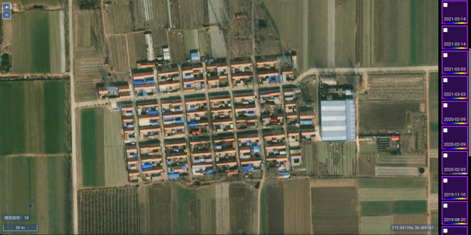
Cloud-Based Satellite Imagery Basemaps
Combined with all the latest satellite imaging records
Conventional Satellite Imageries
When DEM and contours are needed to vectorize in scale mapping, the conventional satellite imageries with stereo pairs shall be in place, as the L1 products could handle the elevation data instead. Panchromatic and multi-spectral images from archive or on-demand tasking are available upon request
Features
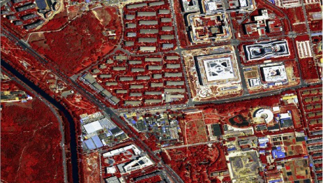
Mass Data Source Ready
to serve dozens of industries
0.3/0.4/0.5/0.8/1 m resolution options, panchromatic or multi-spectral, ortho-ready or stereo pair from major commercial satellites such as Gaofen 1/2, Jilin-1, Superview-1, Beijing 2/3, Worldview1/2/3/4, GeoEye-1, QuickBird, Ikonos, Pleiades, Kompsat 1/2/3, etc.
Shopping Cart
#175 Ilocos Sur St., Brgy. Sto. Cristo, Bago Bantay, Quezon City