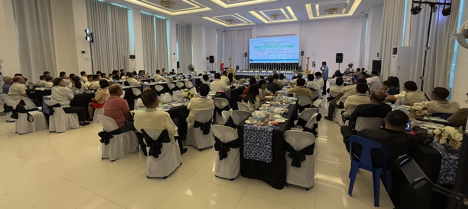
Event Highlights from GEP-Region VIII We had an amazing time showcasing our latest innovations at the GEP REGION VIII 49th Annual Regional …
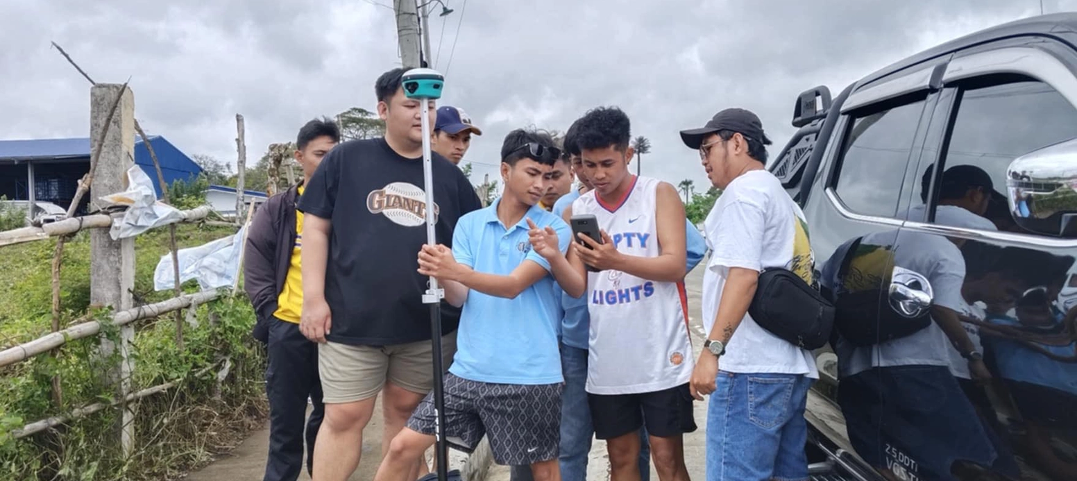
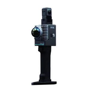
Delivery and hands-on training of All-new STEC “SDi” 2 in 1 AR-Visual Tricam + Total Station GNSS RTK! 2nd Set/Repeat Order of …
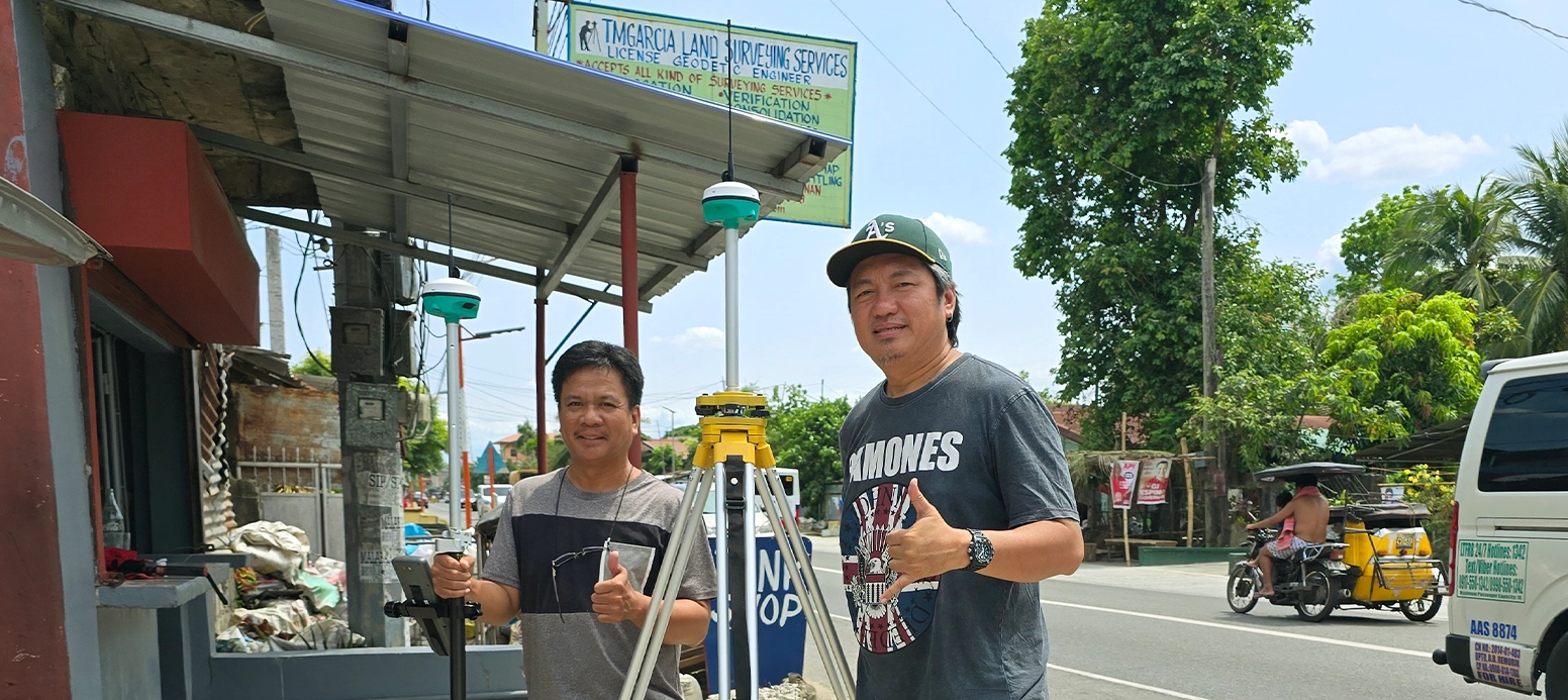
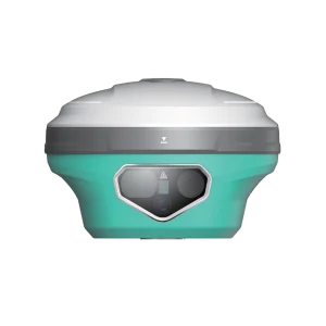
Delivery and hands-on training of New STEC SELITE Apple-sized GNSS RTK! Thank You, Engr. Teofilo Garcia of TMGARCIA LAND SURVEYING SERVICES! Your …
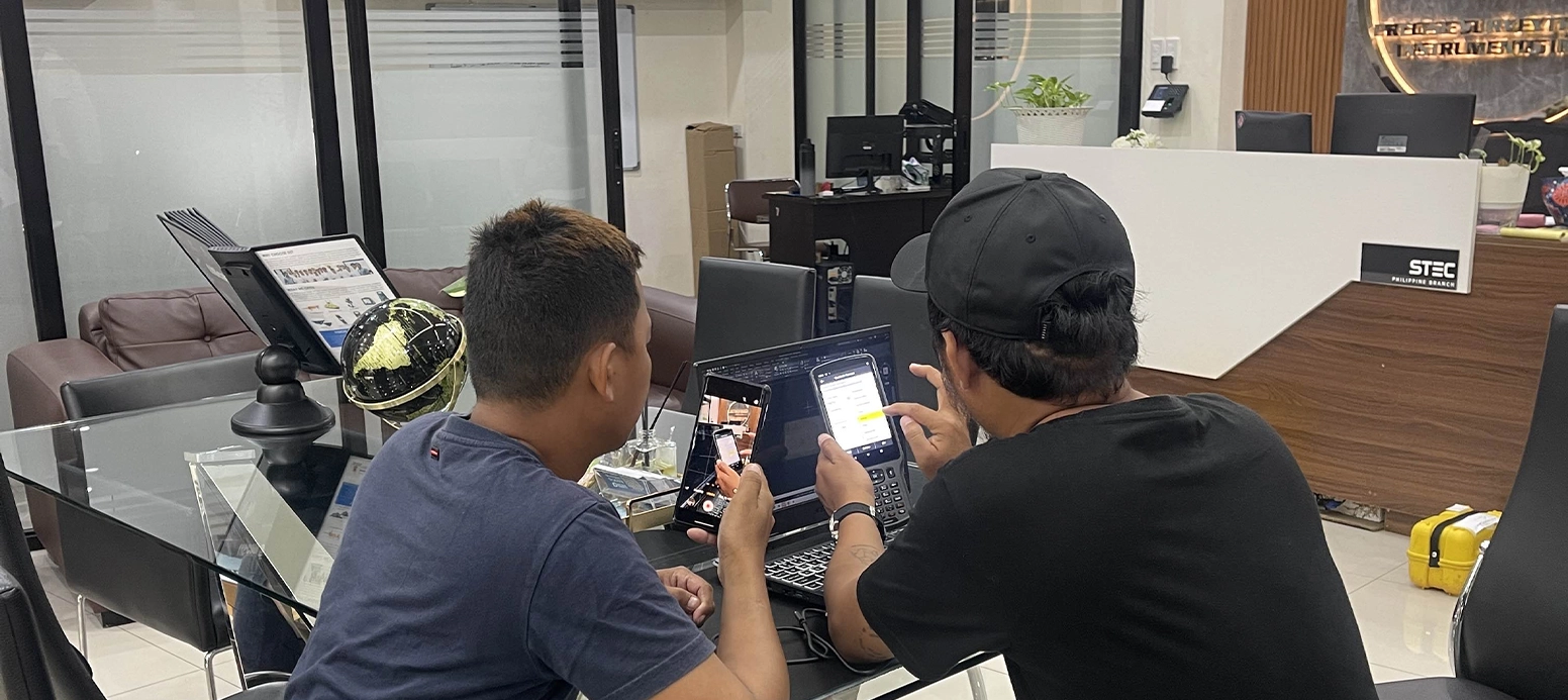
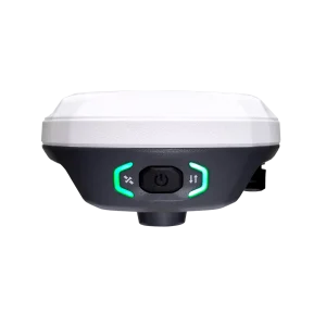
In-store purchase and hands-on training of New STEC SELITE Apple-sized GNSS RTK! Thank You, Engr! Your trust in choosing the STEC RTK …